
I just stumbled across WW2D, which is a Java-based application that allows you to view and zoom through publicly available map data much like Google Earth does. Granted, it’s not as polished as GE, but does provide much of the same functionality. One big plus, is that you can export a give image location once you locate it (you can’t do this without handing a wad of cash to Google in GE).
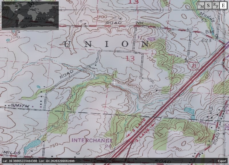
I like that WW2D has quite a few user configurable layers, so that I can overlay the satellite image with the USGS Topo Maps for a given view. In fact, the image accompanying this post is a Topo of my neck of the woods.
Another cool thing is that, since it is a Java app, it can run on multiple platforms (Mac, Linux, Unix, Windows) with the same code base. I’m not sure when other application vendors are going to clue into the power (and portability) of Java for these types of applications. I would even say that if a startup requires a desktop component and it is not written in Java, then they really don’t get it.
technorati tags: maps, topo, googleearth, java, satellite